Navajo Bridge over the Colorado in Marble Canyon, Arizona.

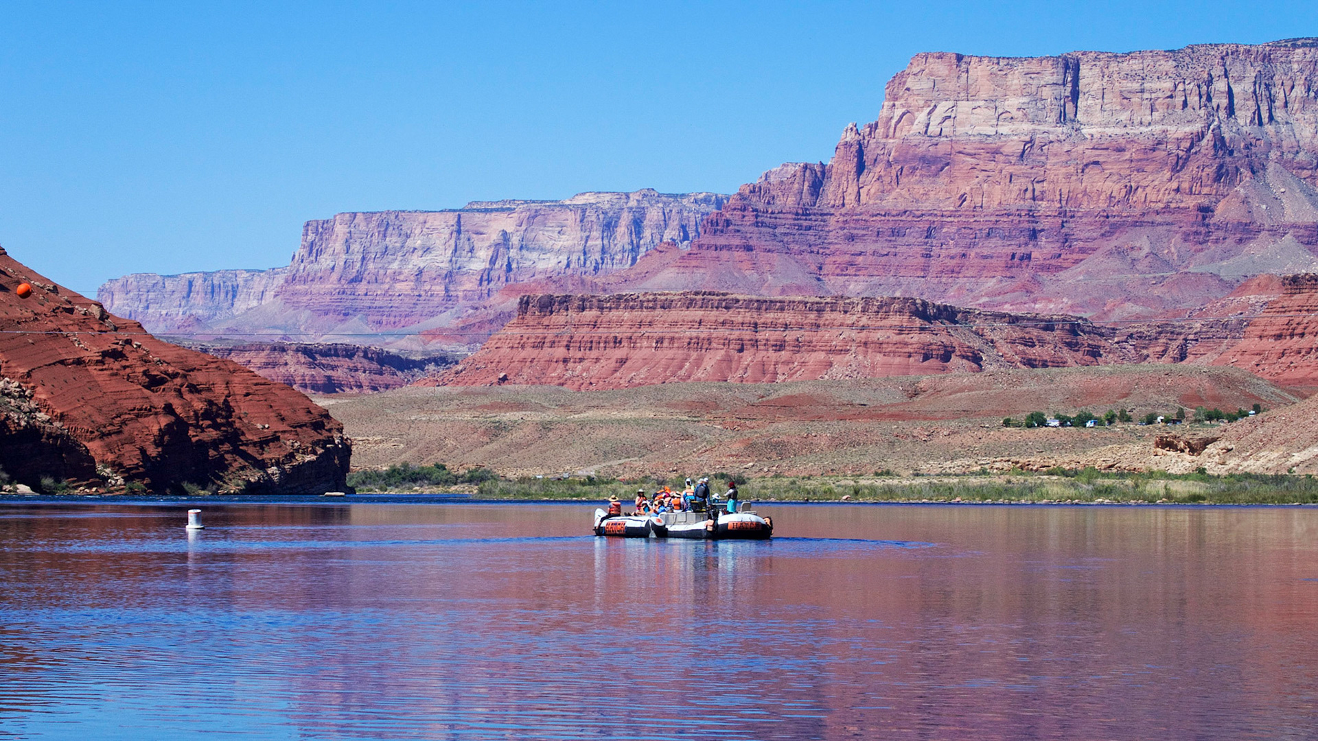
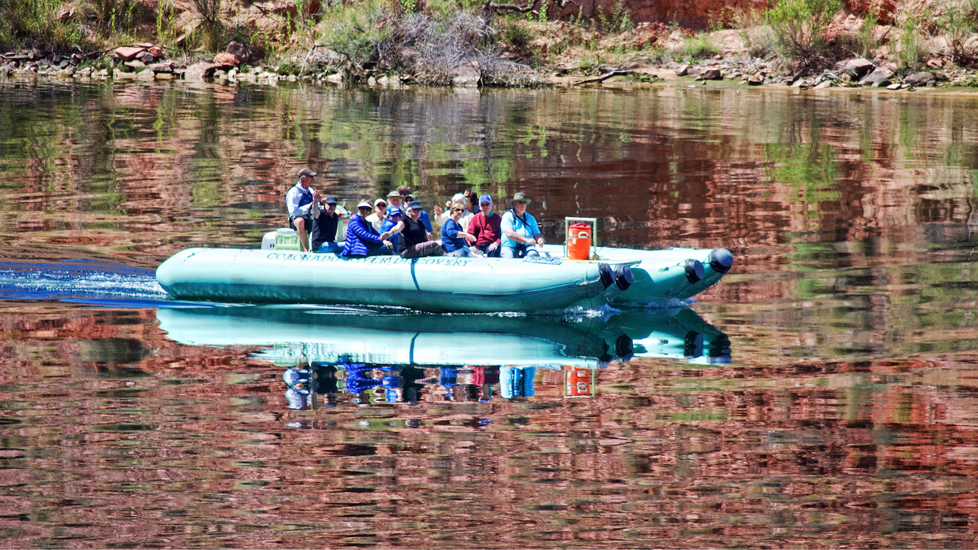
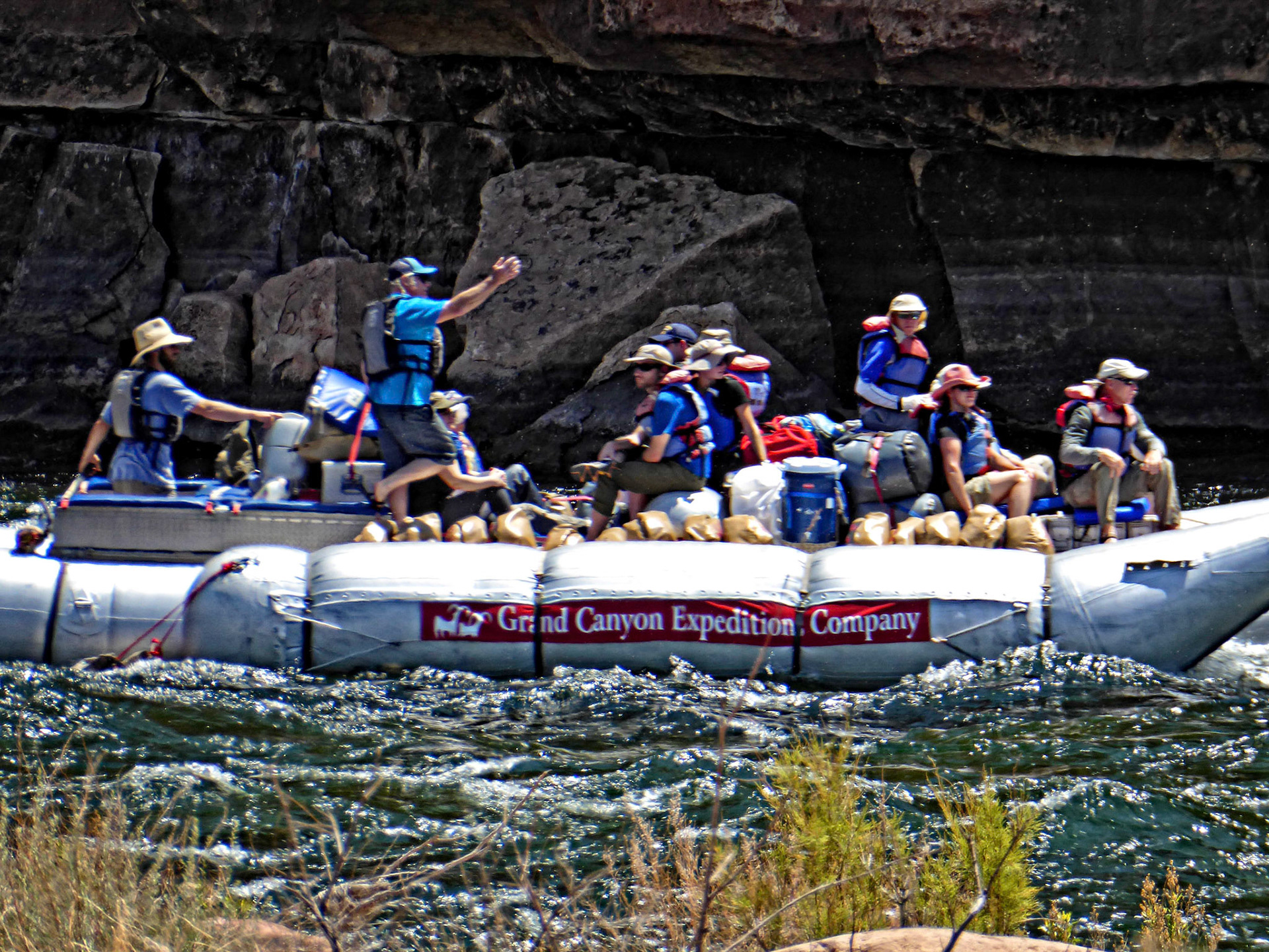
River-rafting on the Colorado. This party have just started their long trip from Lees Ferry through the Grand Canyon to Lake Mead.

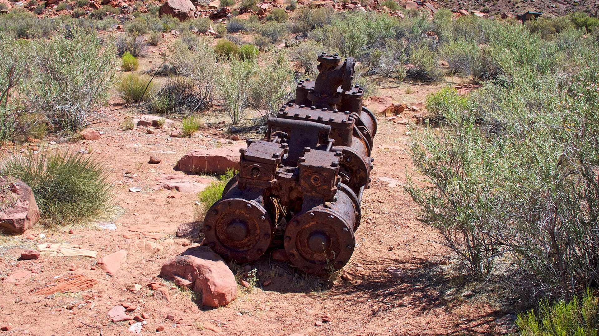
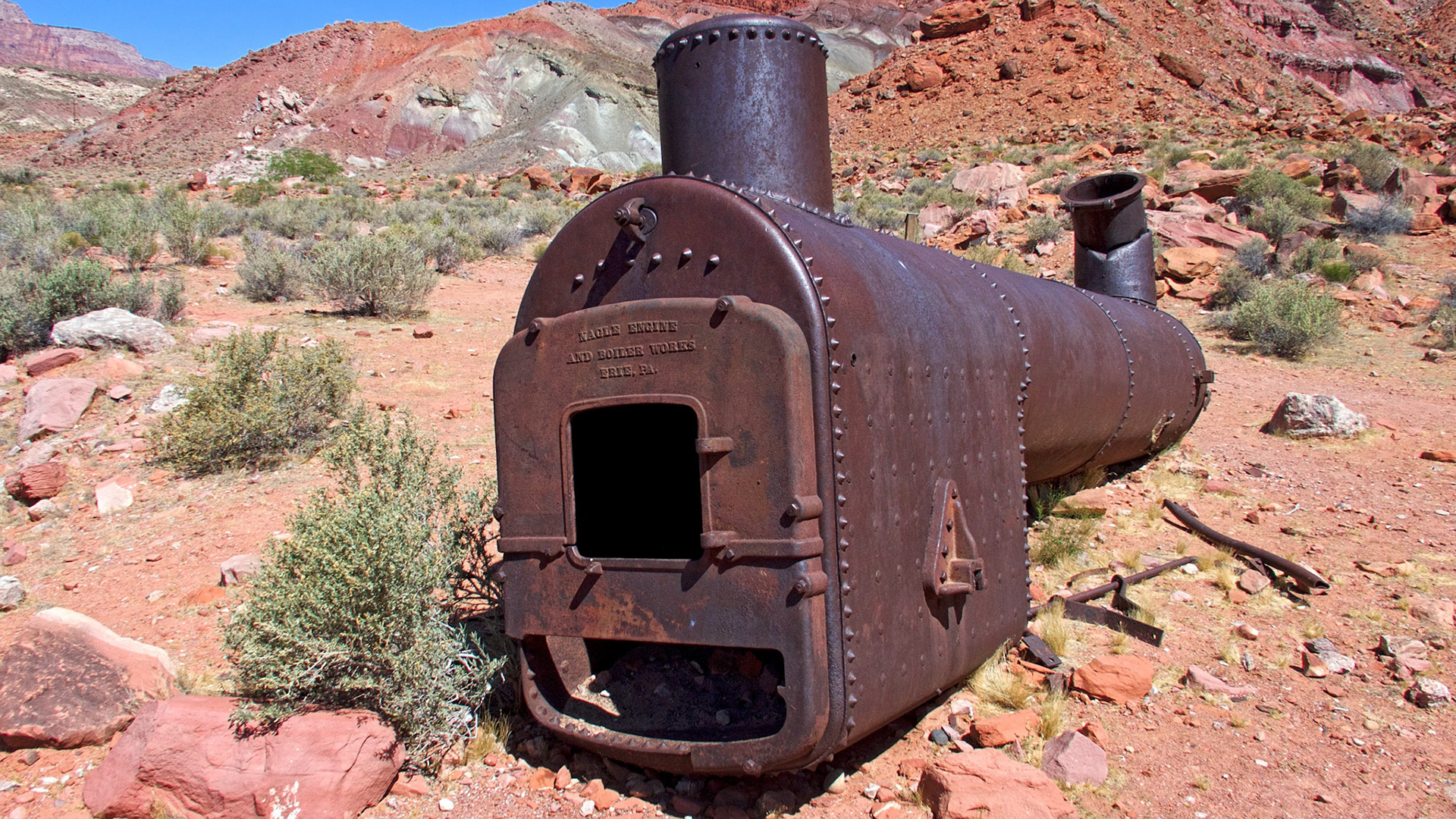
In the early 1900s engineer Charles Spencer started a gold mining venture near Lees Ferry. A land based steam boiler, a steam driven paddle wheeler now sunk at the river's edge and other mechanical equipment and buildings remain as a reminder of this failed enterprise.

Boiler from Charles Spencer's steam dredge, Lees Ferry, Arizona.

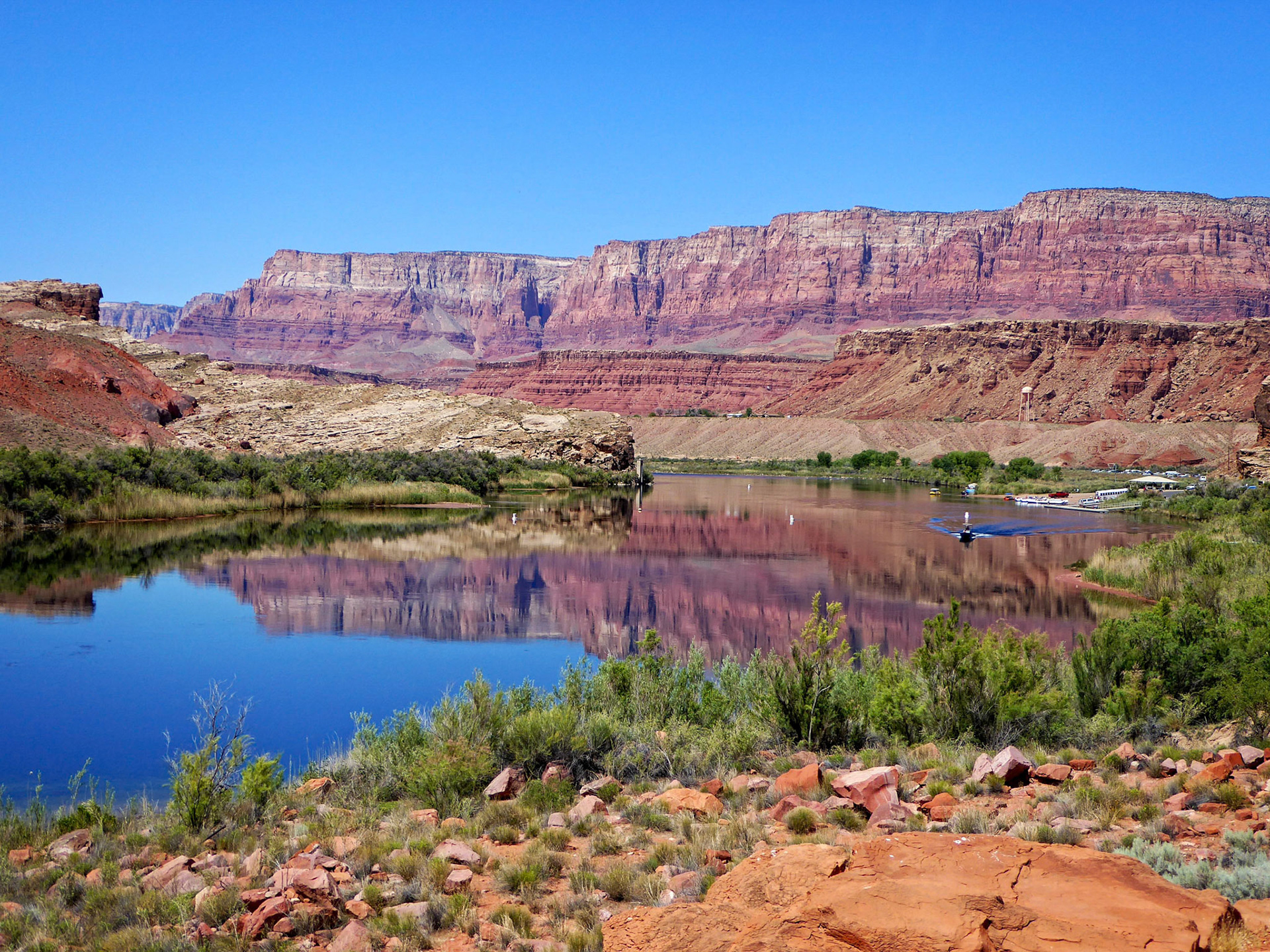
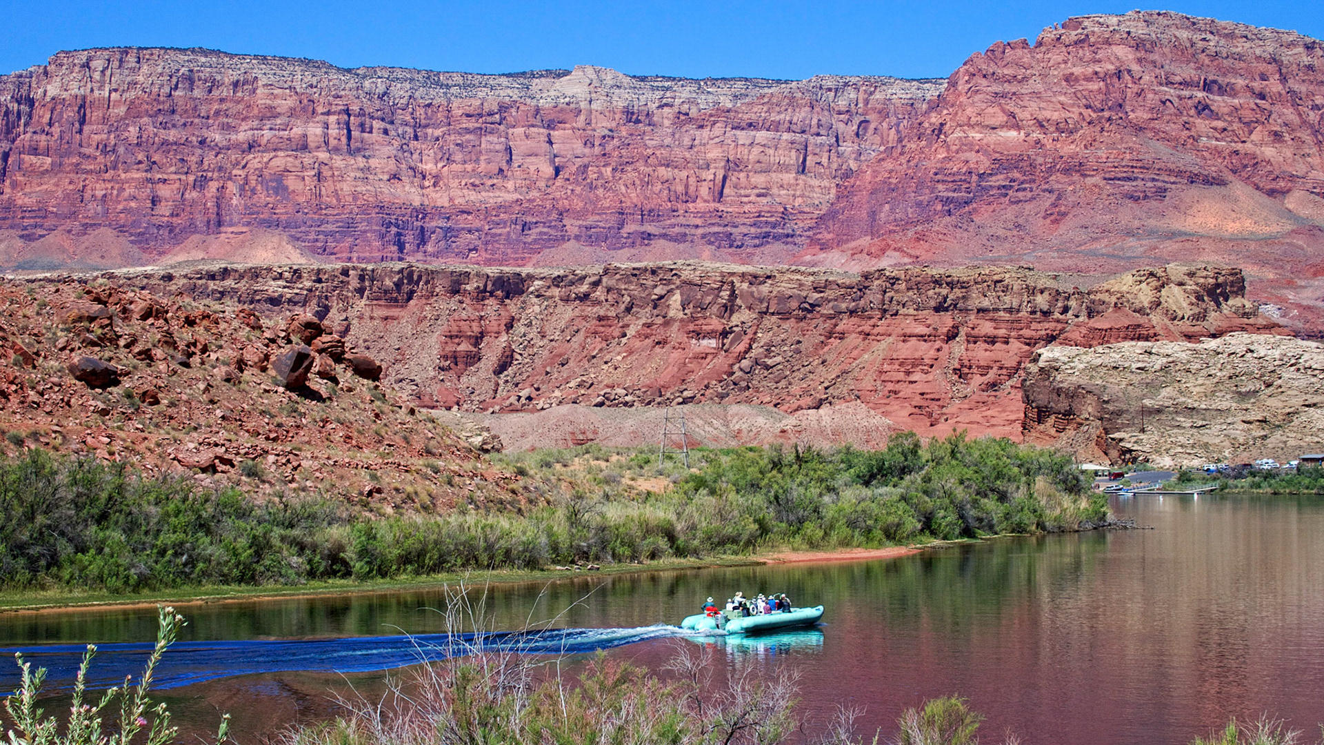
The Colorado River and the Vermillion Cliffs at Lees Ferry, Arizona.

A calm morning on the Colorado River at Lees Ferry, Arizona with the Vermillion Cliffs in the background.

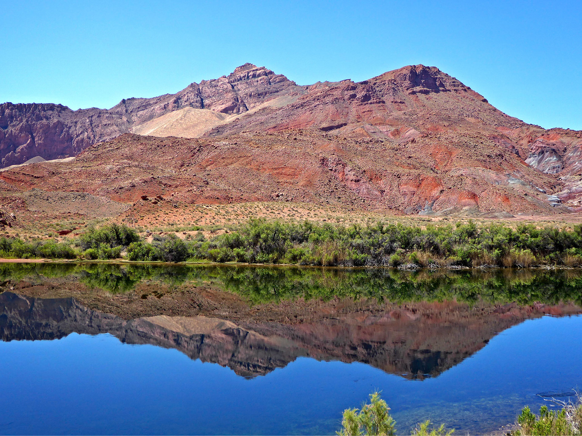
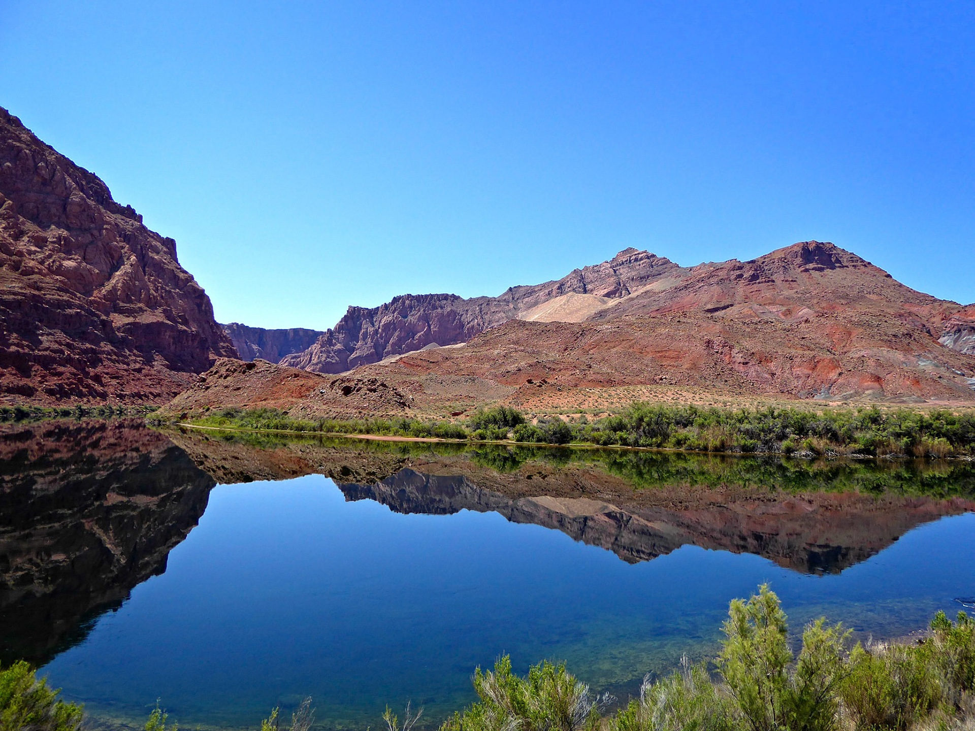
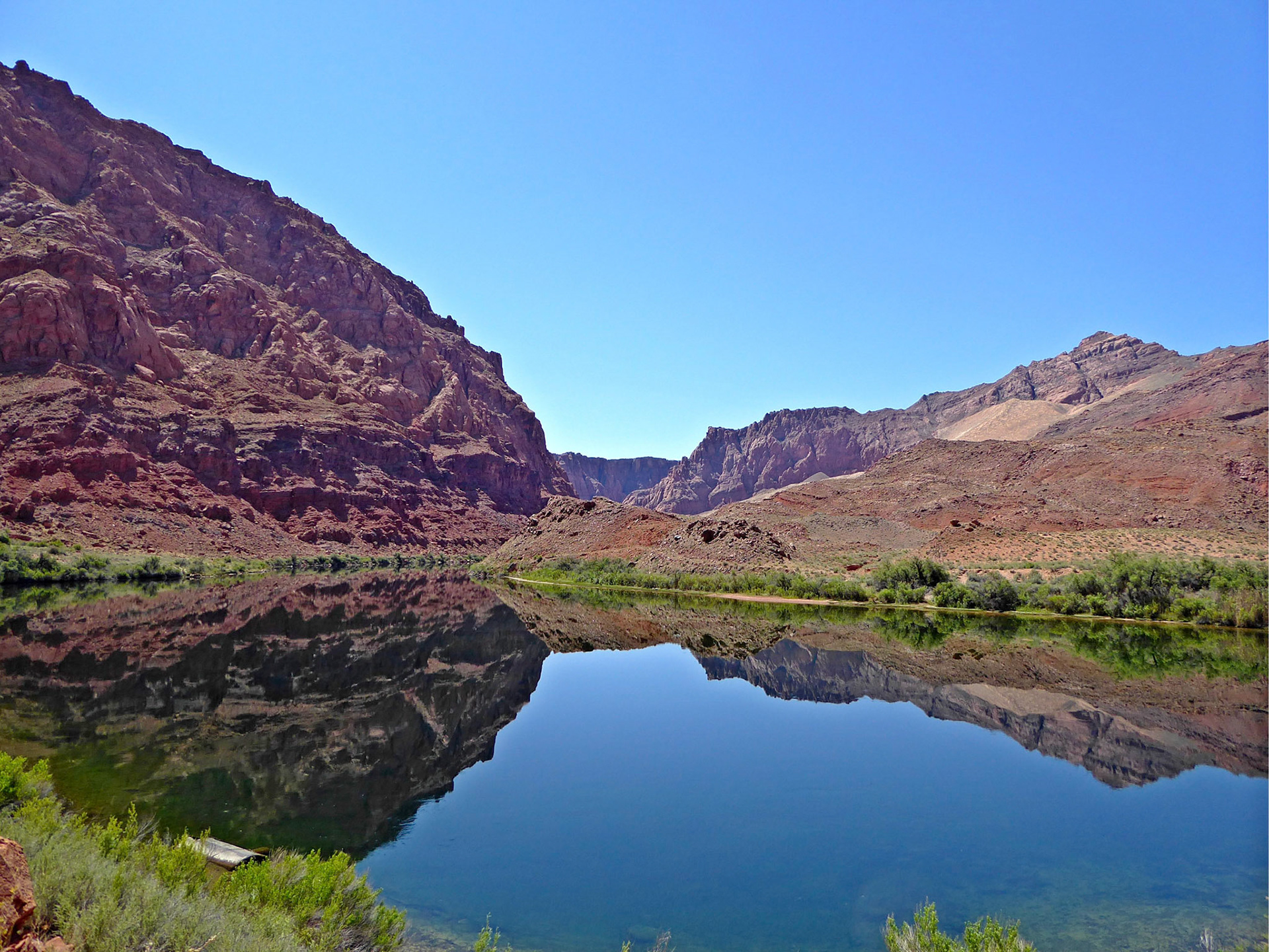
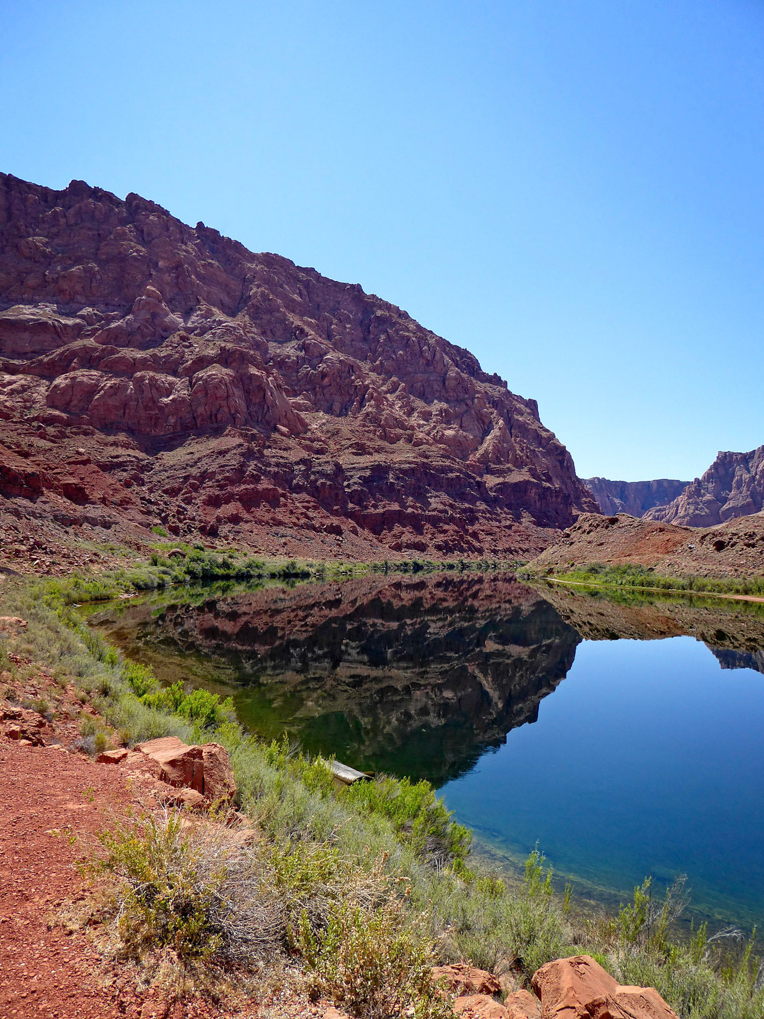
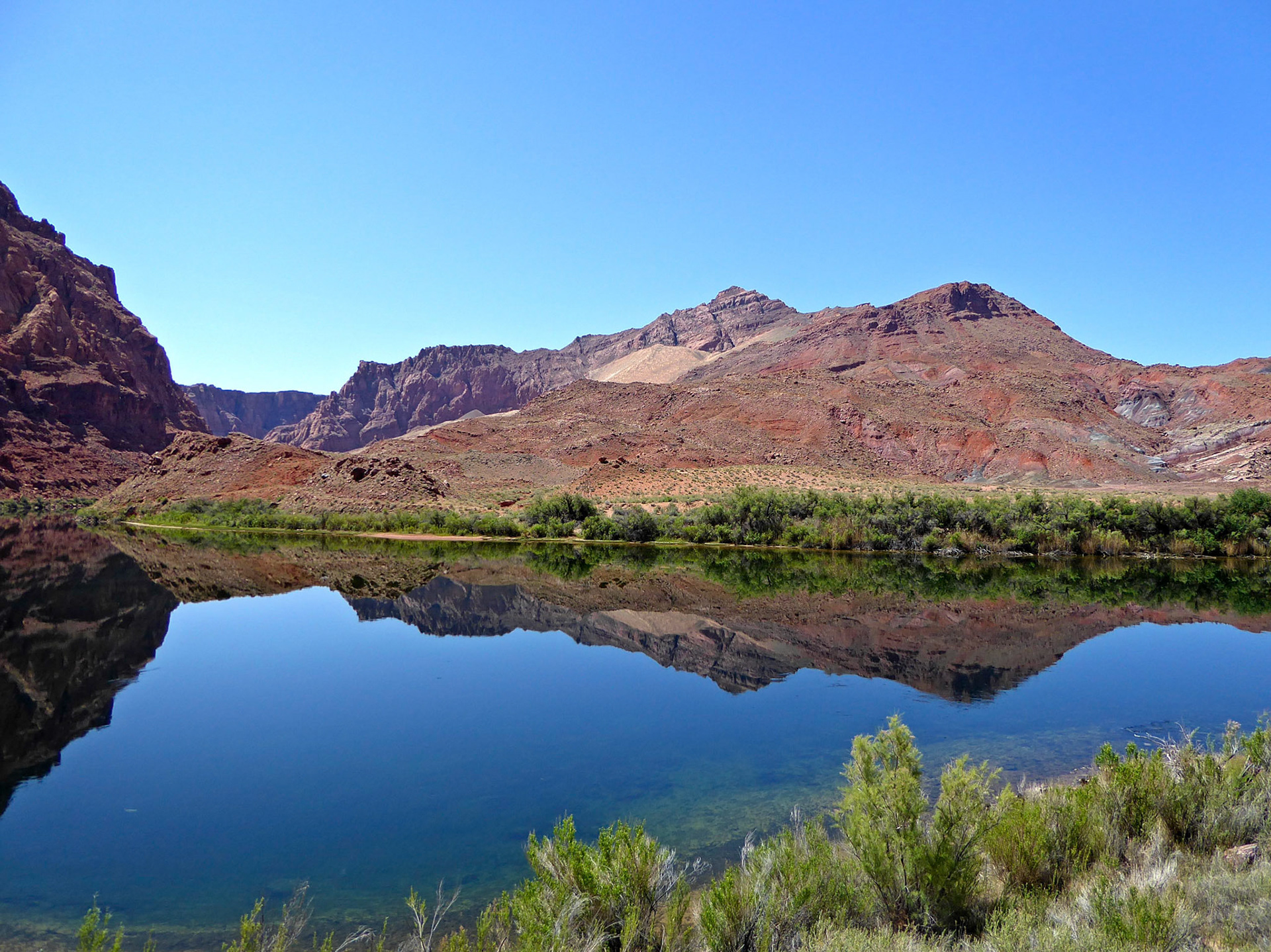
Calm reflections on the Colorado River at Lees Ferry, Arizona.

Calm reflections on the Colorado River at Lees Ferry, Arizona.

Calm reflections on the Colorado River at Lees Ferry, Arizona.

Calm reflections on the Colorado River at Lees Ferry, Arizona.

Calm reflections on the Colorado River at Lees Ferry, Arizona.

Calm reflections on the Colorado River at Lees Ferry, Arizona.

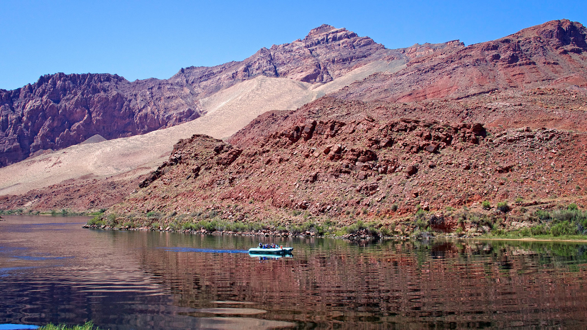
A small inflatable heads downstream on the Colorado River above Lees Ferry, Arizona.

A small inflatable heads downstream on the Colorado River above Lees Ferry, Arizona.

A small inflatable heads downstream on the Colorado River above Lees Ferry, Arizona.

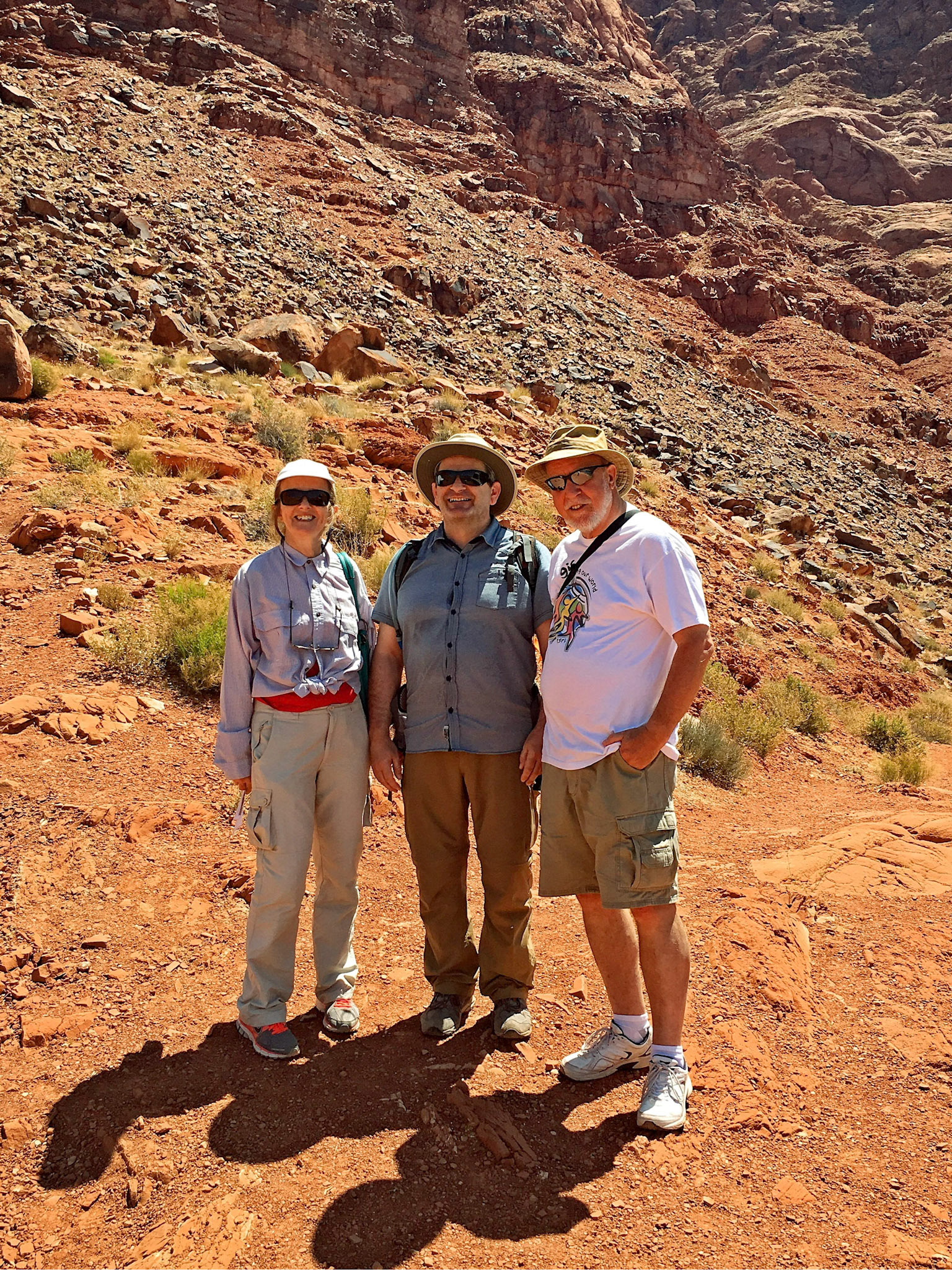
Judith, Serge and Richard at Lees Ferry.

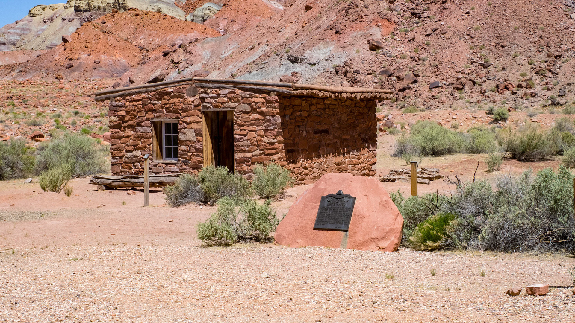
Lees Ferry Fort. After confrontations between Navajo men and Mormon settlers, Brigham Young ordered a fort to be built. It was completed in July, 1874. Tensions eased and the fort became a trading post and then a home to the polygamist family of ferryman Warren Johnson n 1876, The building was used again as a residence by the USGS in the 1920s.

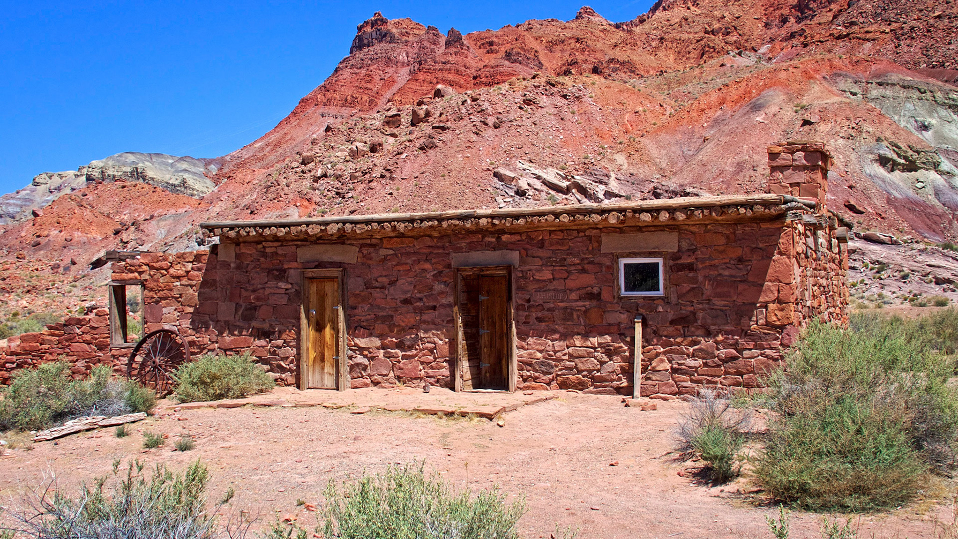
The American Placer Office was constructed in 1911 as the headquarters of Charles H. Spencer's gold mining company. It was deserted after the venture failed in 1912 but was occasionally used as a camp by cowboys, miners and travelers. It became Lees Ferry Post Office in 1922 but quickly closed after almost no mail was sent or delivered.

River-rafting on the Colorado. This party have just started their long trip from Lees Ferry through the Grand Canyon to Lake Mead.

